
Coon Rapids Street Directory Walkthrough
Use the Coon Rapids street directory as a sequence, not as a roster. Start by locating the street address in Coon Rapids through the Anoka County GIS map. The Coon Rapids parcel popup and related property materials identify the PIN, mapped situs, and the owner or taxpayer record associated with that parcel. A mailing address on a tax record is only where county correspondence goes. It can be useful for following a recorded owner, but it does not establish that a person lives at the property.
Next, use the parcel’s legal description or PIN to follow the recorded transfer trail. A deed can connect a current grantee to the prior grantor, but it documents ownership rather than every resident. Minnesota’s voter tool is even narrower: it is an exact registration self-check, not a street-wide name search. When the question moves into the past, use the cataloged directory, telephone-directory finding aid, census material, newspapers, and maps to test a date-specific household connection.
- Enter the Coon Rapids address in Anoka County GIS and confirm the mapped parcel.
- Use Property Access for the owner or taxpayer, PIN, situs, and reports.
- Follow the legal description through the Recorder’s grantor-grantee records.
- Use MNVotes only for an exact person’s own registration status.
- Pair dated directory, census, newspaper, and map evidence for past occupants.
Coon Rapids Address GIS Fields
For Coon Rapids, Anoka County GIS is the practical starting point for a street-by-street search because it accepts a partial address before a person’s name is involved. Choose Address Search, enter a house number and a street name or part of a street name, omit the city name and punctuation, then select the matching address. If that fails, a house-only or partial-street search is allowed. The map can also search a PIN with or without hyphens, which is useful after a property record supplies the parcel identifier.
| GIS control | How to use it | Street-research value |
|---|---|---|
| Address Search | House number plus street name or partial, with no city or punctuation | Find the mapped street address |
| Parcel ID with hyphens | Enter a PIN such as 06-31-24-33-0108 | Reconnect a parcel to a map result |
| Parcel ID without hyphens | Enter the uninterrupted PIN number | Provides a second PIN format |
| Multi-Units Address Search | Select the GIS search layer | Maps the address context, not a resident list |
| Plat Boundaries and Half Sections | Use the listed map layers and search formats | Bridge a street address to land description |
| Map tools | Pan, click, measure, and make a map | Inspect a road segment and nearby parcels |
The Coon Rapids map provides aerials, plats, half-sections, mailing labels, and measurement tools. It does not have a confirmed one-click export for every address on a named street. For a long road, browse the map and review parcels one at a time instead of assuming an all-street list exists.
Planning Map It is a second address check inside the city’s planning materials. Enter an address, choose the dropdown match, and use the parcel popup for its parcel ID, address, and ZIP. The popup can lead to zoning. That adds place and district context to a Coon Rapids address search, but it does not identify a household or turn zoning data into a people record.
Coon Rapids Parcel Address Context
The Coon Rapids county Property Access entry links tax, assessment, sales, and other property information. County instructions for Coon Rapids describe owner or taxpayer information, the property address, PIN, estimated and taxable market value, tax statements, exemption or homestead indicators, special assessments, and property reports. The live combined-search fields were hidden by a maintenance notice when the research was inspected, so the available record does not establish a current field order or confirm a street filter.
The Anoka County combined Property Access entry is the official door to those property reports for a Coon Rapids parcel search.
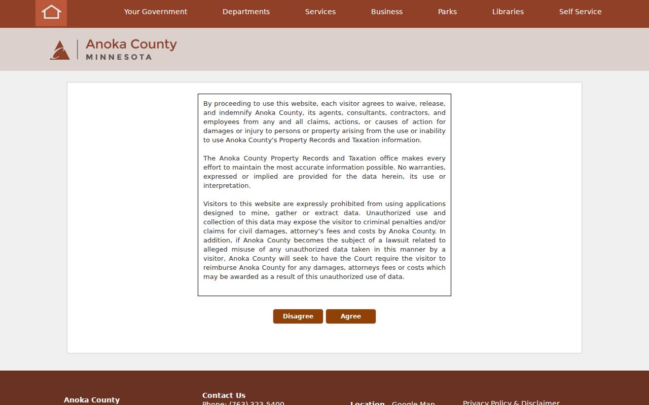
Coon Rapids Property Access should be read with the GIS map and the tax-statement timing rule in mind: an ownership change after January 1 may leave the earlier owner or taxpayer on that year’s mailed statement.
County instructions separately describe Basic Search for current-year statements, valuation notices, property record cards, and proposed tax statements. Multi-Year Search is described for tax years 2020 to present. Those reports are useful for parcel and tax administration, yet a homestead indicator is only a tax classification clue. It should never be converted into a full list of current residents along a Coon Rapids street.
- Parcel or PIN
- The county’s identifier for a piece of land, used to connect a map, property card, and recorded documents.
- Situs address
- The physical location of the parcel. It can differ from the owner or taxpayer mailing address.
- Plat
- A recorded map that can identify a subdivision, lot, block, road, or other land layout.
- Criss-cross directory
- A historical address-to-occupant arrangement, if a collection actually includes a reverse section.
Coon Rapids Recorded Street Trail
Once the Coon Rapids parcel is right, leave the modern street string behind when necessary. The Anoka County Recorder / Registrar of Titles preserves abstract and Torrens deeds, mortgages, plats, satisfactions, liens, and other recordable instruments. Use the current owner and legal description from Property Access, then search recorded parties as grantor or grantee. A current purchase deed points to a seller. Searching that seller as an earlier grantee can identify the seller’s own acquisition, creating a backward chain.
The county’s Tyler portal advertises public record searching, but the live search panel required login during inspection and the county does not publish an online index start year in the reviewed pages. That is a real Coon Rapids street-records limit. Do not assume every older transfer can be reached online. Room 119 at Property Records & Taxation has public real-estate and tract-record research terminals, and the recorder also accepts copy requests. A legal description, lot and block, plat, or Torrens reference is more durable than an old spelling of a street.
Record the party role, document type, recording date, instrument date, document number or book/page or certificate reference, legal description, and image or copy access at each step. Mortgages and satisfactions can help date financing, but they are not title transfers. County staff can provide records but cannot give legal advice or abstract title.
The county also has a Property Alert service for a selected parcel. It sends an email when a document is recorded and can include the document number, date, grantor, grantee, and image for subscribers. This is an anti-fraud and owner-change tool, not an address roster. Non-subscribers can view the information free in Room 119, which makes the terminal useful when an online image or index result is gated.
Coon Rapids Permit Address Trail
Building activity in Coon Rapids can place a date on an address without proving a household. Coon Rapids Building Inspections directs users to BS&A Online, where the city says permit history and inspection results can be searched without login by permit number or property address. A result can help show work or inspection chronology at the parcel. It is a useful companion to a deed or newspaper item when researching a house, not an occupant roll.
The exact BS&A jurisdiction fields, result columns, and online coverage start year were not exposed in the research. Keep that gap intact rather than guessing which applicant names or dates the live screen provides. If an address result is incomplete, the city’s Government Data Practices request route can seek city-held public permit or code records by a precise description. The city says inspection is free and copies may involve charges under its stated rules.
Coon Rapids Address Records
A single address can appear in several Coon Rapids record systems, but the systems answer different questions. The table keeps ownership, land, work history, voter limits, and historical evidence separate so a name from one source is not mistaken for proof from another.
| Address record | Key | What it can show | Important limit |
|---|---|---|---|
| County GIS | House and street or PIN | Mapped address, parcel shape, plats, and aerial context | Does not prove an occupant |
| Property roll | Owner, address, or PIN | Owner or taxpayer, situs, mailing, values, and classifications | Mailing address is not occupancy |
| Recorder records | Recorded party or legal description | Transfers, mortgages, document date, and land description | Online start year is not published |
| BS&A permit history | Address or permit number | Work and inspection chronology | Fields and coverage are unverified |
| MNVotes or list request | Exact person details or statutory request | Own registration status or limited public-list fields | No ordinary street browsing |
| Historical directories | Address and year | Possible address, telephone, or occupation clues | Reverse runs are not confirmed |
| Census records | Household and geography | Relationships, age, and historic residence context | Release and boundary limits apply |
| City records request | Exact address and description | Nonportal public city records | Classification and response rules apply |
For Coon Rapids, the PIN and legal description are the best crosswalks between the property, GIS, and Recorder layers. A street name is a useful starting point, but it is too weak on its own for a deed chain or a historical address that has changed labels.
There is a practical order to this coverage. Use GIS to make sure the address points to the intended parcel. Use Property Access to collect the parcel facts and recorded owner or taxpayer clues. Use the Recorder for the transfer history, and use a city request only when an address-keyed municipal record is not exposed online. Historical directories and census then test a past household for a specific year. Each step narrows the question without claiming a universal Coon Rapids street list.
Coon Rapids Voter Lookup Limits
Minnesota’s voter-registration lookup is deliberately not a public street-wide name tool. The form requires first name, last name, exact date of birth, and address details. It offers ZIP Code or county mode, with county mode leading to city or township, house number, street, and optional unit information. A match confirms registration and directs the voter to next steps. Changes are processed by election officials and the lookup is updated nightly, while entry of a registration change can take up to 14 days.
The Minnesota voter-registration lookup shows the exact-match form relevant to a Coon Rapids address search.
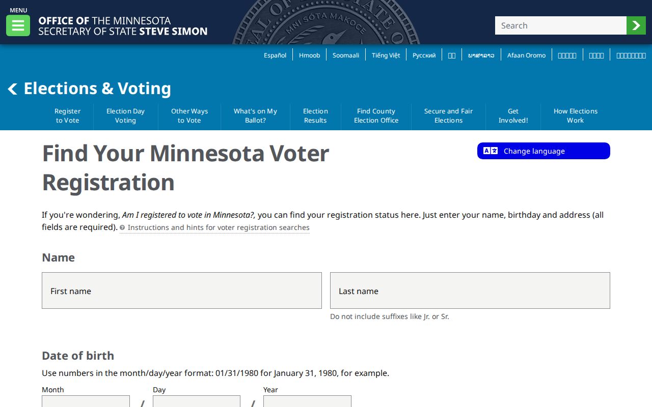
A registered Minnesota voter may seek a public voter list under Minn. Stat. §201.091, but permitted use is limited to elections, political activities, or law enforcement. It is not an unrestricted address scrape. Full dates of birth and other private registration fields are not public, and protected voters, including Safe at Home participants, are not ordinary local-address results.
Coon Rapids Past Street Addresses
For an older address, the verified local starting points are modest but useful. FamilySearch catalogs a 1976 Anoka-Blaine-Coon Rapids city directory, and the Minnesota Historical Society has an Anoka County telephone-directory finding aid that includes Coon Rapids entries. Exact runs for telephone and reverse directories were not transcribed in the research, and an actual readable 1976 entry was not captured. Treat those as collections to inspect, not as an online street list.
The Coon Rapids Enterprise digital archive, Anoka County Historical Society newspapers and obituaries, census material, and ownership plats can then help test a dated address. The collection details belong on the Coon Rapids city directory page; here the key is to use each dated source as a check on the parcel and year. A directory can offer an address clue, while census records add household relationships and a deed explains the land transfer.
For a street trail before a present-day address format, begin with the lot or legal description and work outward. ACHS has pre-statehood road surveys and ownership plats from 1888, 1914, and 1932. The 1905 Minnesota state census adds address, occupation, and length-of-residence fields, while released federal schedules add household relationships and geography. A match across those sources is more useful than a stand-alone name in an uninspected directory catalog.
Coon Rapids Old Street Labels
Old street research can run into an identity change before it reaches a records gap. The Coon Rapids area began as Anoka Township, became a village in 1952, and became a city in 1959. The Red River Ox Cart Trail followed present East River Road and Coon Rapids Boulevard. A family, parcel, or business clue may therefore sit under Anoka Township, Anoka, East River Road, or Coon Rapids Boulevard rather than today’s city wording.
That history is a reason to compare the GIS parcel and legal description with Anoka County Historical Society road surveys and the 1888, 1914, and 1932 ownership plats. It is not evidence of a citywide renumbering project. No confirmed Coon Rapids street-renumbering year was found, so an unexplained address difference should be researched through the land description and historic maps rather than assigned a made-up conversion date.
Coon Rapids Address Search Limits
A Coon Rapids address search cannot reveal every person connected to every property. Renters and other household members may not appear in a public land record. Utility and delivery customer information is not a public street list, and DMV address data is protected by the federal Driver’s Privacy Protection Act. A property owner, a tax-statement recipient, a permit applicant, and a voter are different roles that can point to the same parcel without proving the same household.
Safe at Home uses a substitute address to protect a participant’s actual location. Protected voter information, sealed court material, and confidential vital or adoption records also remain outside ordinary address searching. The right response to a missing result is not to combine records to defeat a protection or to infer that no record exists.
Lawful use. Use Coon Rapids address records for personal, lawful research such as family history, property questions, or civic curiosity. Minnesota law does not permit public records to be used to stalk, harass, intimidate, or harm another person.